Dorchester residents living along the heavily trafficked Columbia Road met last week with city transportation planners and urban design specialists to begin plotting the future look of the key neighborhood connector.
A straw poll at the May 2 meeting at the Grove Hall library branch asked attendees about everything from pedestrian improvements to bike lanes and bus infrastructure.
The gathering launched a three-phase overhaul of short-term repairs, public art and a long-term revision of the streetscape from Edward Everett Square in North Dorchester to Blue Hill Avenue. Street redesign options are due out around next March.
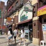
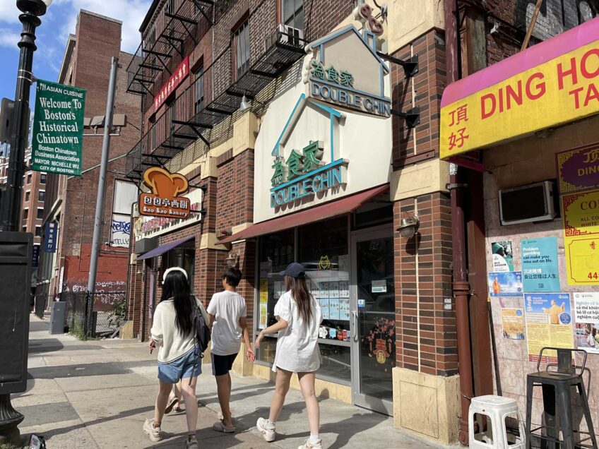
From Franklin Park to a historic intersection with Massachusetts Avenue in Upham’s Corner, Columbia Road forms a key link in Boston’s heralded Emerald Necklace. But the corridor itself is relatively devoid of greenery.
Local residents at the meeting expressed interest in more shading and pedestrian-friendly features while sharing the need for more parking to serve both residents and businesses along the largely commercial thoroughfare, which is used as a commuter route for workers driving from towns south of Boston.
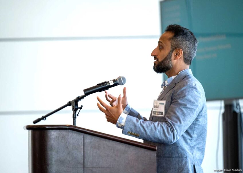
Boston Transportation Department Project Manager Xavier Lopez hailed the Columbia Road Transportation Action Plan as an “exciting project that’s been a long time in the making,” later referencing its roots in the “Go Boston 2030” vision and action plan published in 2017.
Earlier this year, Boston hired Toole Design Group to spearhead the project’s outreach partnership. The firm’s national footprint includes Cambridge’s Bicycle Plan and Boston’s Complete Streets Design Guidelines.
Toole’s Jeff Rosenblum, a principal planner, was on hand Thursday along with state Senator Nick Collins and project partners such as Dorchester Bay EDC and the LivableStreets Alliance.
In January, Boston launched a Go Boston 2030 online tracker for the mobility plan’s priorities. Previously, LivableStreets was the plan’s primary accountability watchdog. The organization’s “Not On A Shelf” report dinged Boston for slow progress towards most of Go Boston 2030’s goals and targets.
LivableStreets’ 2020 report recommended a “equity-centered model of compensating community members in a workgroup” for Columbia Road. Residents at the kickoff had no expectation of compensation.
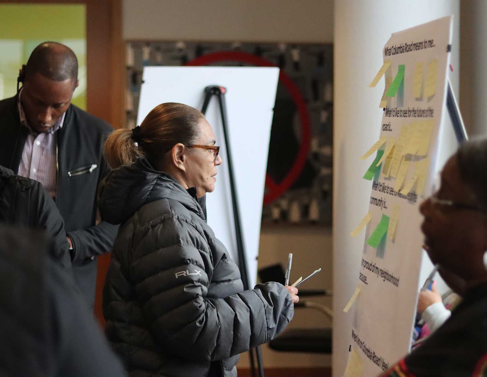
Residents offered input in response to open-ended prompts. PHOTO: PETER C. ROBY
Nadra Ra walks Columbia Road frequently. She asked for benches, “places to sit, not just at bus stops,” and additional trash bins.
“I don’t think the elders necessarily feel safe to walk down Columbia Road,” Ra said.
Favoring more trees, she imagined beautification including art and music.
Maria Monteiro of Dorchester’s Fields Corner grew up on Columbia Road. It had improved since 20 years ago, she said, but she hoped for more.
Monteiro recommended traffic cameras for safety. Residents, she said, would like to walk for exercise.
“But, if they don’t feel safe, how can you go outside for a walk?”
Bob Jones of Trull Street has lived in the area since 1976. He gets around by bus and walking. He walks to shop for groceries in South Bay and catches the number 16 bus home.
Jones noted neighborhood stakeholders need parking. Furniture stores require curbside space to load cars, and at funeral homes people queue for the procession. Double-parking, he said, is a reality that must be accommodated.
Eric Eversley lives on Columbia Road. He found the meeting by happenstance. He and another Columbia Road resident, who asked not to be named, were withholding their feedback for now.
“I don’t even know what their vision is,” she said.
Eversley’s concern was speeding cars. He doesn’t want bike lanes, which in some urban design schemes have resulted in reducing traffic lanes and causing congestion. Columbia Road currently includes two lanes in each direction.
Soyini LeGore has lived near Columbia Road for decades. She lives on Devon Street today.
LeGore emphasized the neighborhood’s dense residential housing. People need parking, she said.
“The parking situation is already crazy,” she said. Like a few others, she asked for resident parking spaces.
“There’s homeowners, and they have cars,” she said of her neighborhood.
Ibrahim Khonth travels along Columbia Road to get to work at the library, typically by bus.
“Most people take the bus,” he said. Khonth recommended prioritizing buses to limit traffic for mass transportation. Boarding buses now, he said, was “a little bit safe, but not that much.”
Members of the planning team will collect more input. Abby Jamiel of the LivableStreets Alliance invited feedback, especially for the second phase, focused on public art and placemaking.
“There will be spaces like this where people can come and tell us what they want and what they like to see,” she said.
Jamiel pursues “tactical urbanism,” she said, experimentation with interim uses in the built environment.
Tactical urbanism means “something that is cheap, that is fast and that it’s not permanent. It’s a way to play around and try out ideas,” she said. She cited outdoor dining during the pandemic as an example.
Sarah Freeman, a board member of the Emerald Necklace Conservancy, attended Thursday’s meeting. Freeman lives along the Arborway. For her, Columbia Road is a part of Boston’s public park history. What began with Boston Common grew to the Commonwealth Avenue Mall, she said, “then Olmsted came along and planned [so] you could go downtown all the way to the waterfront.”
Columbia Road connects to the Emerald Necklace parkway through Circuit Drive in Franklin Park. Rhiannon Sinclair, a Principal Urban Planner with Agency Landscape + Planning, concurred that Columbia Road could connect up Boston’s public park system. And, she said the Franklin Park Action Plan identified Columbia Road as a gateway.
Sinclair sees a chance to make that connection happen, she said, “but then also how you encourage safe, inclusive and walkable connections all along Columbia Road to Franklin Park to Moakley Park” in South Boston.
BTD’s Lopez appreciates Columbia Road’s history, identifying it as the “missing link of the Emerald Necklace.” While Boston has evolved since Olmsted’s time, Lopez said, Columbia Road could use more greenery, a better urban canopy, and the median has some empty planters.
“Dorchester as a whole experiences some of the warmest temperatures in all of the city,” the project manager said, describing the urban heat island effect.
“We kind of see it as a tree-lined street,” he said broadly of Boston’s vision, “like sort of a front yard for folks that live along Columbia Road.”
Any of that could follow from residential input over the next year or more. For now, Lopez is focused on short-term improvements this summer, including repairs of uneven sidewalks and street lighting and “restriping crosswalks, doing some patch paving, fixing up some potholes.”
To get involved, see the Columbia Road Transportation Action Plan at boston.gov/columbia-road.