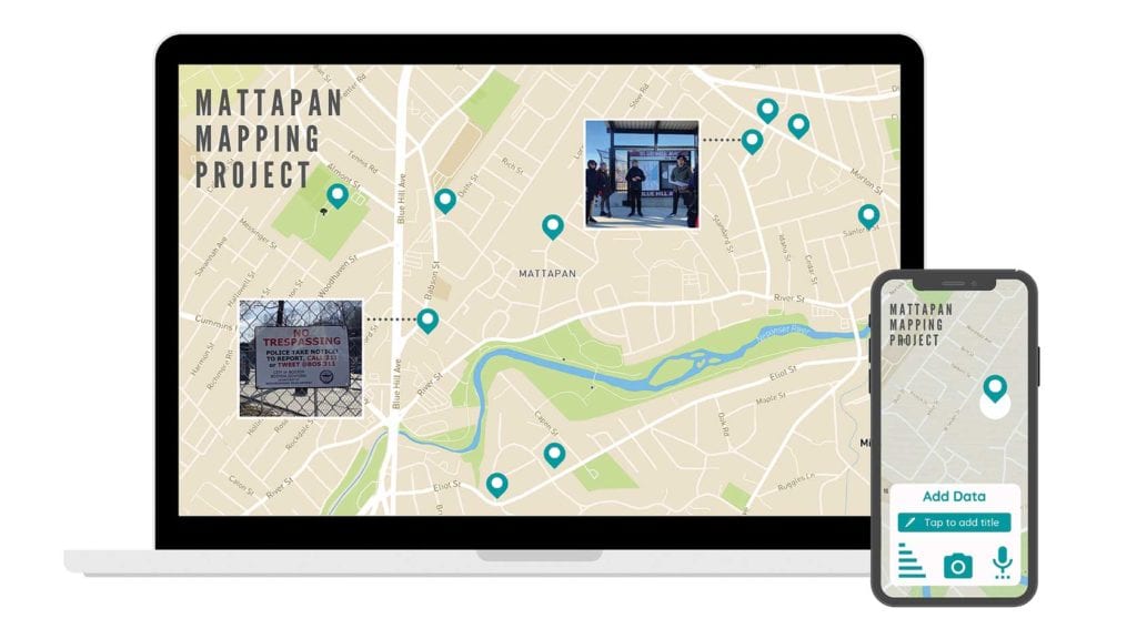
Mattapan residents are taking hold of their history through a multi-layered mapping project that will highlight the past, present and future of the historic Boston neighborhood.
Allentza Michel, a Mattapan native and founder of the urban planning organization Powerful Pathways, has partnered with the Greater Mattapan Neighborhood Council on this year-long task, along with faculty and graduate students from Harvard University and Tufts University. The goal of the interactive tool is to not only inform residents of the history of Mattapan, but to better inform policymakers and legislators of the areas they govern.
The impetus for the project is displacement in neighborhoods all over the city, Michel told the Banner. In 2015, when she was conducting displacement research, she held focus groups with East Boston and Mattapan residents.
“One of the things that emerged from the focus groups was a uniform question that residents have been asking: ‘What exactly do we need to know in order to know how to circumvent gentrification?’”
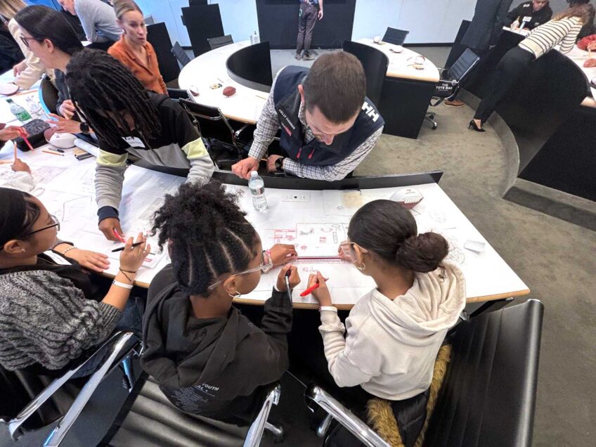
Michel struggled to fund the project in 2018, but after adding Professors Laurie Goldman from Tufts University and Lily Song from Harvard School of Design, she was able to make the mapping project part of their graduate students’ curriculum.
They’re in the preliminary stages of creating a permanent online tool that Mattapan residents can one day add to with their own data. Michel and her team of six are conducting research on developments, historic landmarks and points of interest in the area, as well as compiling a list of community members and legislators to interview for more historical information.
Fatima Ali-Salaam, chair of the Greater Mattapan Neighborhood Council, said that a lot of the project will consist of applying several generations of oral history to a new format.
“History is determined by who is telling it,” she said.
Ali-Salaam wants to make sure the community is heavily involved at the beginning of the process, which is why she introduced the project at GMNC’s last meeting on Nov. 2.
Michel noted that financial support for the project may have increased in part because of renewed interest in displacement and gentrification, and the racism and segregation that contribute to them.
“A lot of the history in the last 50 years is neighborhood residents coming together and organizing and mobilizing, because the community has been somewhat abandoned,” she said.
She wants to capture those stories as a source of inspiration “and a reminder that this is not a community that is going to be railroaded.”
Michel was coordinator of the Fairmount Indigo Network and is concerned with the Fairmount corridor of the T. The Fairmount transit line was intended to bring mobility to the Mattapan community, but is now being leveraged by developers who have caused housing prices to rise. She also brought up senior residents who are at risk of coercion from buyers who want to flip their homes.
“So why is there this almost rushed energy to make things happen, and for whom? Because it’s not for the existing residents,” she said.
Once the map is finished, Powerful Pathways will manage and update it as new information comes in. Residents will be able to see a “for sale” sign on a lot and submit to the map that a parcel could be under development soon. Interested parties will see the demographics of that street and see who will be most affected by a future development.
“My hope is that we can get more attention for more resources and more support,” Michel said. “We’ve always worked at a very grassroots level.”


