Trace Boston’s black history from the comfort of your home
BPL’s Atlascope map tool brings the city’s evolving history to life

In recent weeks, the Boston Public Library’s Norman B. Leventhal Map & Education Center has unveiled its latest research tool: Atlascope. The online resource, accessible from anywhere with an internet connection, allows researchers and history buffs to view historic maps of Greater Boston overlaid on the contemporary maps we use today. The result is a fascinating exploration of how the city has evolved and how its populations have shifted over time.
The tool has been created over the course of several years by painstakingly photographing physical urban atlases and transforming them digitally into a continuous and searchable map. Currently, 66 atlases have been added to Atlascope. The Map & Education Center has a grant to add 99 to the program in total. Ultimately, curators hope to input all 250 atlases from the collection onto the website.

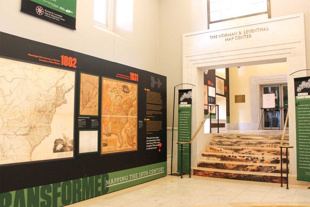
The courtyard of the Boston Public Library where the Leventhal Map Center is based. PHOTO: CELINA COLBY
The original atlases were created primarily for use in the real estate industry and by fire insurers.
“Fire insurers needed to know what buildings were made of, who owned them, and all sorts of fine-scale detail about the building, like where their water mains were, did the building have sprinklers, how close to each other were they,” says Garrett Dash Nelson, curator of maps and director of geographic scholarship at the Map & Education Center.
Using Atlascope, history buffs can search a specific address, neighborhood or site and view historic maps ranging from the Civil War to the 1930s overlaid with our current urban maps. Some areas have more maps available than others, due to population density at the time. Users also have control over what kind of modern map they want to use, for example satellite, aerial or street, and how much of the area they want to view at one time. The program is also designed for mobile web use. Using your location, it can move with you as you walk through a neighborhood, changing the historic maps automatically as you go.
The fine-scale atlas detail gives visitors a window into the past. At 2 Phillips Street in Beacon Hill, not far from the African American Meeting House, which is also viewable on the maps, map-surfers can see the home of John Coburn. Coburn was a well-known African American abolitionist who participated heavily in the Underground Railroad out of this home.
This information is significant not only because of Coburn’s fame, but because there were very few black homeowners at the time. Coburn’s name disappears from the home, most likely meaning he sold it, by 1883, as black populations began to migrate from Beacon Hill to the South End and Roxbury.
“The 700-900 stretch of Tremont was really the black main street of Boston, where a lot of black businesses were,” says Nelson. “At this time … you start to see a lot of Baptist and Methodist churches popping up, which is of course associated with the influx of Southern black residents into the area.”
On maps of that central business district, viewers can see highlights that still exist today, like the Chickering and Song Piano Factory, still standing as the Piano Craft Guild apartment building and gallery on Tremont and Camden streets. Though many businesses were renting space, and therefore would not be identifiable from the building owners’ names on the maps, some black-owned businesses are recognizable and other landmarks also illustrate the movement of black populations throughout the city.
Another fascinating spot to explore is Nubian Square. While sifting through maps from different eras, Atlascope users can see when the elevated railway arrived (first noted on the 1889 map), which would later become the Orange Line. Many of the Nubian Square buildings are still standing, and their changing owners and uses can be viewed on the Atlascope maps.
Though the library and its Leventhal Map & Education Center are currently closed due to coronavirus precautions, Atlascope users can click “About this map” to be taken right to the library call number and information where they can request to view the original atlas in the Boston Public Library when it reopens. You do not need a library card to use Atlascope, but to view an original atlas you will need a card or research pass.
As an externally accessible tool, Atlascope has come at exactly the right time. While Boston residents are practicing social distancing and staying inside, they can continue to research local history and cultural migration using Atlascope as a jumping-off point.


